• Residents say controlled breaches can give floodwaters a path back to Chenab
• Several parts of Jamshoro remain under water
LAHORE / DADU: A vast reservoir of floodwater continues to rise along the eastern side of the M-5 motorway, inundating farmland and threatening to erase entire villages in Multan’s Jalalpur Pirwala tehsil.
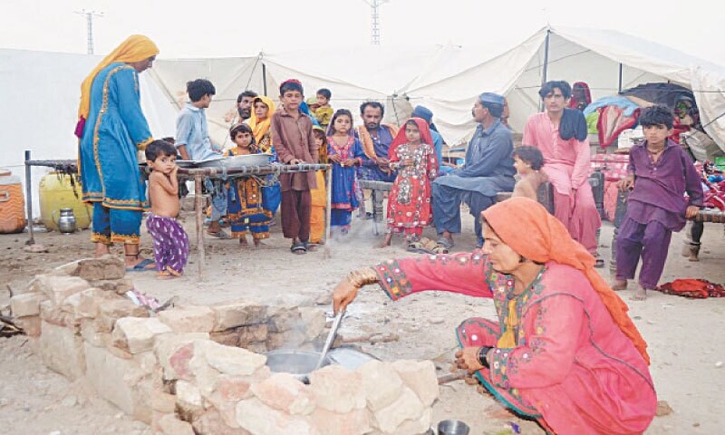
Fifteen days after breaches first appeared at the Noraja Bhutta embankment on the Sutlej River, residents in union councils across Multan, Bahawalpur and Lodhran remain stranded, with many clinging to embankments as the water swallows their homes.
To prevent damage to the highway, the National Highway Authority (NHA) has blocked culverts and bridges with heavy stones, effectively turning the motorway into a dam.
But this is preventing floodwaters from draining away and causing water levels to rise on the eastern side, creating a dam-like effect from Noraja Bhutta embankment to the motorway.
Communities in Noraja Bhutta, Bahadurpur, Basti Lang, Kanu, Dipal, Tarut Basharat, Daily Rajanpur, Belaywala, Dunyapur, Jhangra, Muradpur Soiwala and surrounding areas are among the most severely affected.
“Thousands of people were becoming homeless due to floodwater in their tehsil Jalalpur Pirwala,” said Muhammad Bakhsh, a resident of Basti Lang who evacuated his family to Ahmadpur Sharqia.
He said he and his sons returned on Wednesday to find most of their houses had collapsed.
“All of our belongings, including wheat, refrigerators, beds, doors, washing machines, air conditioners and other items, were washed away,” Mr Bakhsh said, adding that theft from abandoned homes is now rampant.
Residents argue that a controlled cut in the motorway would drain the water, which they say currently cannot find a path to the Chenab River.
“The government was not giving way to water and closed all the bridges under M-5 motorway and made the eastern side of Jalalpur a dam,” Mr Bakhsh said.
The NHA defended its actions as necessary to preserve the critical infrastructure.
“We are placing stones around the motorway for its safety,” NHA General Manager Kashif Nawaz told Dawn. He stated they were not closing waterways but were reinforcing points where the speed of the water could cause damage.
Mr Nawaz said he did not have equipment to measure if water levels were rising and that controlling the inflow was the irrigation department’s responsibility.
Flooding in Jamshoro
According to authorities in Sindh, a medium-level flood that is moving through the Indus, has submerged vast tracts of agricultural land and dozens of villages. The flow at Kotri Barrage is around 400,000 cusecs, leaving most low-lying areas between Sehwan, Jamshoro and Kotri inundated.
The towns of Kotri, Khanpur, and Karoon Khu remain safe for now. However, in Petaro, UCs Manzoorabad and Moro Jabal are submerged. In the Manjhand area, villages including Aliabad, Khanot, Indpur, and Budhapur are affected. Over 20 rural settlements in the floodplain are now underwater, forcing residents to evacuate to safer locations on their own.
Flooding has cut off land routes to many villages from Sehwan and Bhan Saeedabad.
Published in Dawn, September 25th, 2025


